
Soil stories frozen in time
When we talk about soil profiles, we usually do not stand in the landscape where they formed. And digging a deep soil pit – sometimes one meter or more – is not only fascinating but also physically demanding work. Imagine cutting a vertical window into the ground to reveal what has been developing there for hundreds or even thousands of years. Some of the oldest soils in the world are even millions of years old.
Photos can help us visualise soils, but they remain flat. They cannot fully capture the texture, the three-dimensional structure, or the subtle transitions between layers. A soil profile is not just something you see, it is something you experience spatially.
For this reason, and to preserve these features over time, one can create what are called soil monoliths. A soil monolith is an undisturbed vertical slice of soil that is carefully removed from the field and preserved. You can think of it as cutting a piece of landscape history, almost like slicing bread or cake, and then stabilising it so it remains intact. After being carefully cut in the field, the soil section is slowly dried and fixed with glue over several weeks. The aim is to preserve its natural structure and visible layering so that, when we stand in front of it later, it feels almost as if we are back at the original site.
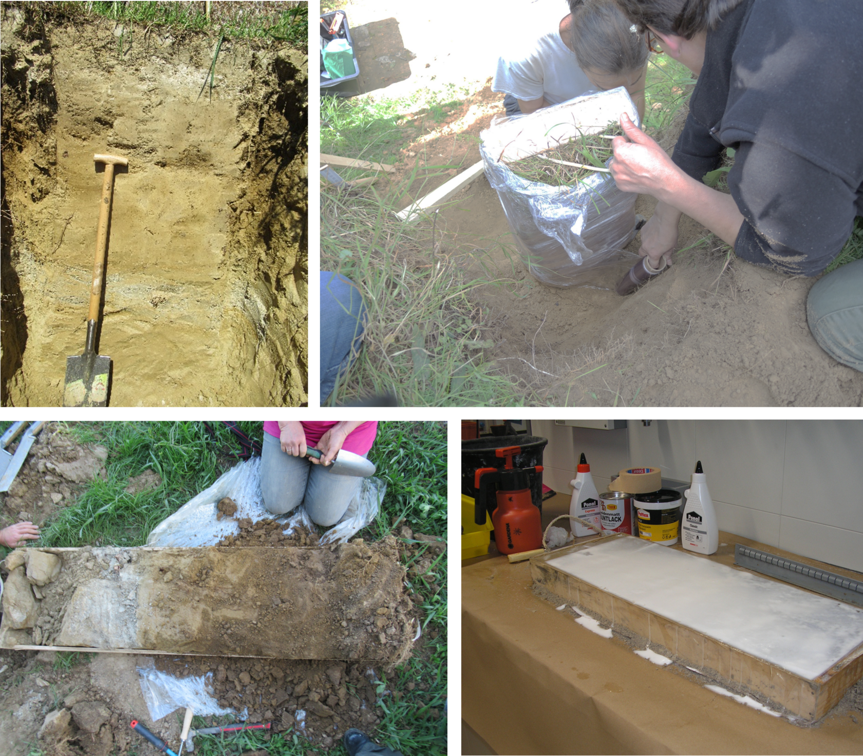
© Angelika Hromatka, BOKU University
Soil monoliths allow us to study soils closely without traveling across continents. They make it possible to compare soils from different environments side by side. And most importantly, they preserve a moment in the long story of a landscape. It is a physical record of processes that unfolded over centuries. It invites us to ask: What happened here? What shaped this place? And what does this soil reveal about the environment above it?
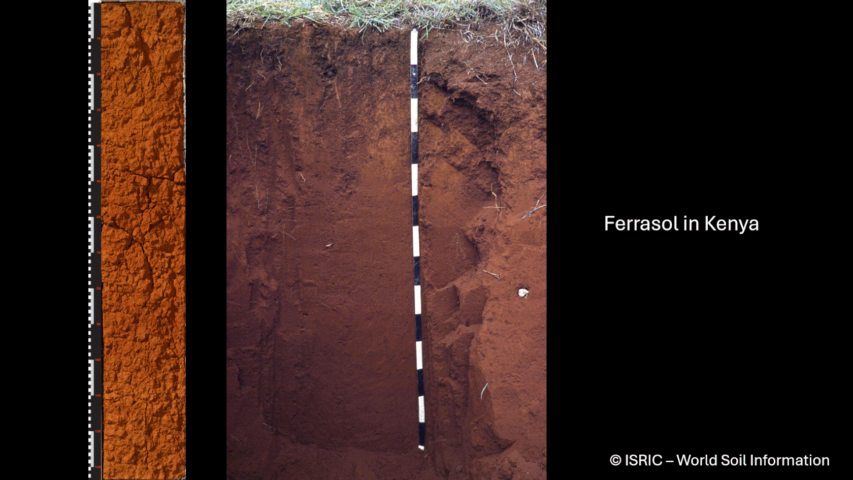
Bonus (optional): Find out where the soil from the monoliths shown in the beginning came from!
 Please log in or register to post a comment